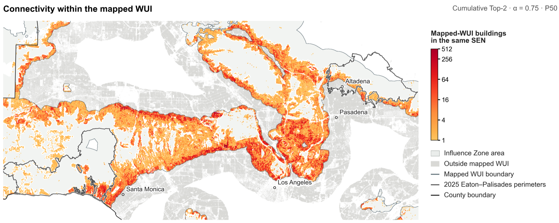
Structure-to-Structure Connectivity and Urban Wildfire Destruction Risk in California
Using LiDAR-derived building meshes and post-fire assessments for 24,771 exposed structures, this paper estimates when structure-to-structure exposure drives self-sustained urban wildfire spread and identifies at-risk communities across California.